
Aerial photography
High resolution aerial imagery of infrastructures
Thermal aerial imagery for inspections
Aerial video
Aerial video in 4K
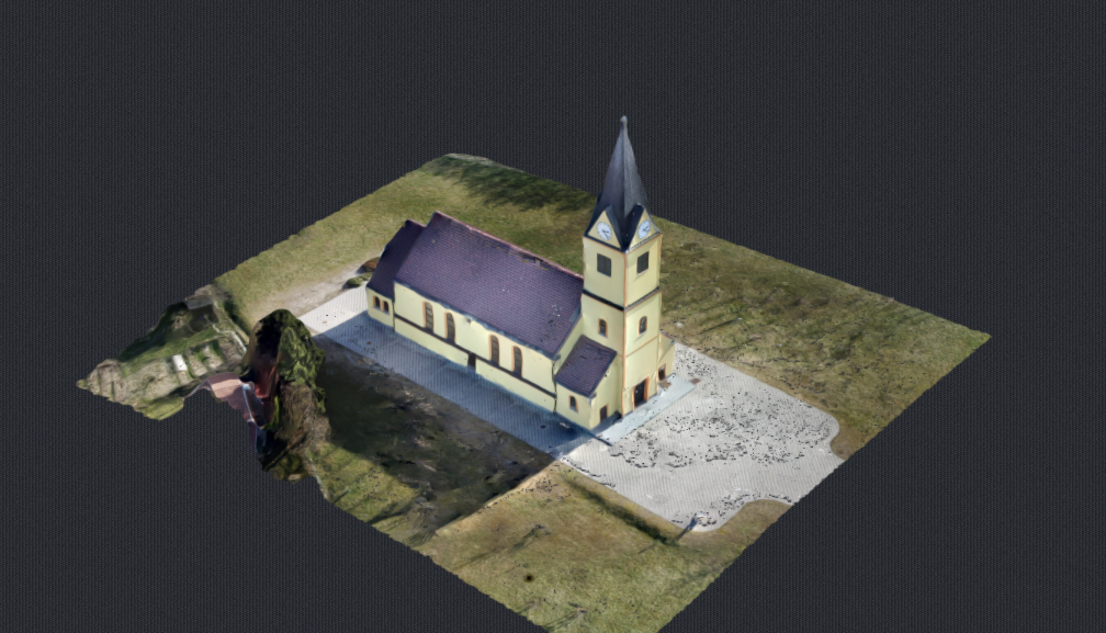
2D/3D Mapping
High resolution imagery processed into 2D maps and models.
Our Vision
NaNebu
As professionals in aerial imagery, NaNebu d.o.o. offers services, hardware and software solutions as well as consulting services, finding a high-quality, customized solution for every customer’s request.
The success of NaNebu is based on a team of creative specialists, who have been building up their proficiency over many years. They are highly motivated, and successfully meet even the most demanding and complex project requirements, hand in hand with the customer. The quality and flexibility are the trademarks, which allow the company continuous growth and also international activity.
Gallery